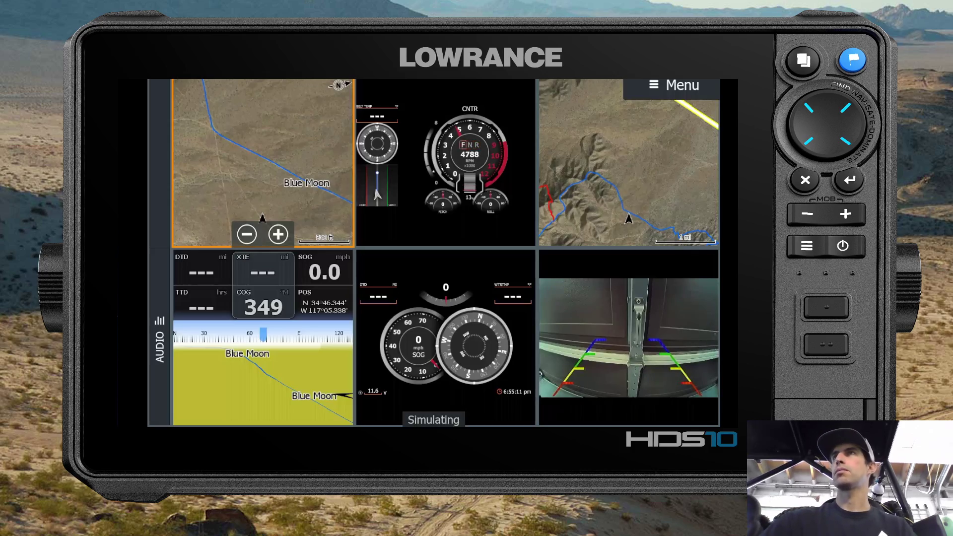
Before the digital age, we only had paper maps, and if we wanted something more detailed you would turn to a bound book that was written as a trail guide. There was a clear distiction. As we have moved into the digital world of off road navigation, it’s been easy to clump together various navigation aids and data into a single term. Gps map. This can now mean so many different things ranging from a basic road marked on a blank screen, to satellite imagery layers, points of interst, everything in between and cobinations of each… the list goes on.
So where do Rugged Routes maps fall into this picture? My intention has always been to approach each high detail OHV mapping project with a fresh set of eyes. An effort to guide people through places and explore things they wouldn’t ordinarily find while keeping the data as clean as accurate as possible. I also include any data that might make your next off road adventure more… adventurous. The cool, less documented things to go see and keep you from ridng in circles around camp.. go out and explore. The high detail satellite imagery doesn’t come easy either. It requires multiple phases of processing to give it some pop and a 3d feel to more easily comprehend the terrain. But I’m typically really happy with the end results and I simply do the best I can.
It became abundantly clear at at a few recent off road expos, that the depth of the data and the amount of research, ground work, and processing that is required to compile my Lowrance GPS Maps is easily overlooked during an initial introduction, especially with such a simple and broad term to describe it. Meanwhile having customer after customer drop in, tell me how how good of a job I do and to keep going. Those that are familiar with what I produce just want more, meanwhile newcomers tend to clump me in with the basics. It’s been very motivating as well as eye opening trying to describe the level of data that I process, add, and correct.
I clearly call call my mapping products the wrong thing but only for lack of a better word. In the end, my maps aren’t just maps, and I feel that they can’t be properly compared to other products on the market, they are more along the lines of a detailed guide to help elevate your next adventure.
The big question is, what should the GPS guidebooks of the digital era actually be called?
Please reach out with your ideas or if there is something that i can help you with.
-Steven
To stay in the loop on behind the scenes developments, be sure to subscribe on YouTube and Follow on Instagram.


