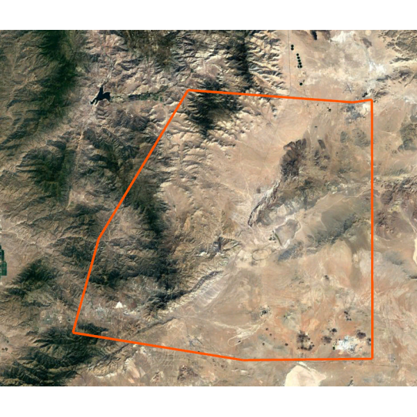
To order, please visit: https://ruggedroutes.com/custom-satellite-imagery-lowrance-off-road-maps.html
I have recently gotten new faster software as well as more computer hardware to spread the load and speed up map processing. Offering custom maps with fast turn around times has always been an end goal of mine. Although I still have some improvements to do on my end to streamline the process, the recent upgrades are a huge step in the right direction.
I don’t know how long I’ll keep this trial period going for, but atleast I’m opening it up and seeing how this all goes. Feel free to reply to this e-mail with any questions you may have, otherwise please view the video and purchase your custom map here:
https://ruggedroutes.com/custom-satellite-imagery-lowrance-off-road-maps.html
Please tell your friends in real life, on social media and on message boards.
Thank you,
Steven Lutz
