Ever had a great ride cut short by a belt failure? We’ve all been there. It may have not been you, but i’m sure we all have that friend that just came to mind. The one that loves riding, has a great time, maybe he’s the life of the group but always seems to make the day…. unpredictable? At one time or another the chances are pretty good that a UTV’s broken belt has put a damper on your day. Regardless if it was yours or someone elses.
UTV’s have become increasingly complex with more sensors, more gauges, digital gauge clusters, etc etc. However, OEM’s have been slow to adopt a way to monitor the termperature of the CVT and belt. Of the OEM’s that have adopted a belt temperature reading device, most have done so in a slow reacting way relying on the ambient air temperature near the CVT. At Rugged Routes, we’ve developed an infrared belt temperature sensor that changes the game. The infrared belt temperature sensor from Rugged Routes uses an infrared belt temperature sensor to detect a heat signature directly from the belt and instantly displays the result on the screen of your Lowrance GPS. For you racers out there, this is also multi-gps compatible enabling multiple Lowrance GPS’s to display the temperature reading at the same time. It’s easy installation and GPS integration will have you set up in no time, which is explained in the video at the following YouTube link: https://www.youtube.com/watch?v=kQ20XCJKrDk
As a UTV enthusiast myself, this device has helped me and my friends enjoy longer rides while helping ensure that we make it back to camp before the sun goes down and in time for refreshing beverages & dinner around the camp fire. I hope you and your friends do the same, so please share this information with your ridding friends, especially vie e-mail and social media.
Thank you,
Steven Lutz
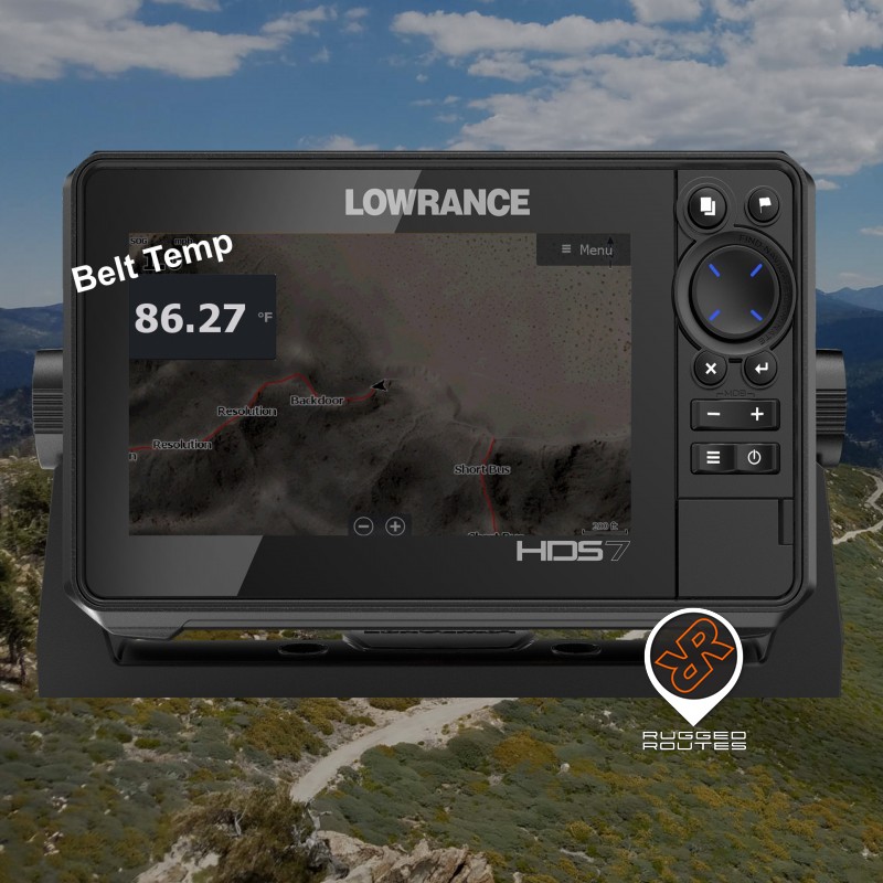
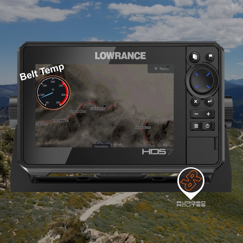
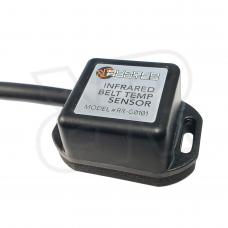
UTV Infrared Belt Temp Gauge, Sensor for Lowrance GPS
Ride longer with a real time UTV Belt Temp Gauge on your Lowrance GPS
$239.99